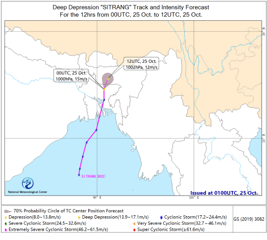
Cyclone SITRANG, a Bay of Bengal storm, landed early today near Brisal, Bangladesh, with maximum wind speed of 23 m/s (9 force, amount to tropical storm in China) and a central minimum sea level pressure of 990 hPa. At 08:00 BJT on October 25, SITRANG weakened to a deep depression (24.7 °N , 90.7 °E) over Dhaka district, Bangladesh.

Figure 1. Forecast chart of track probability of the Bay of Bengal Deep low SITRANG in the next 12 hours
Affected by SITRANG, from October 24 to 25, heavy rain and strong winds affected Bangladesh with 24h rainfall more than 300mm. Northeast India and western Myanmar also had heavy rain. Winds of force 7 to 8 and gusts of about force 10 were reported in the northern sea area of the Bay of Bengal.
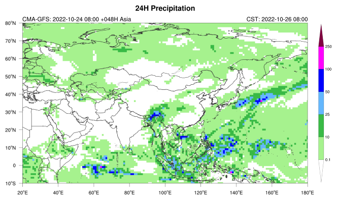
SITRANG is expected to continue to weaken as it moves northeastward with a speed of around 10 kilometers per hour. As a result, heavy rain (snow) will hit Bangladesh, eastern Bhutan, Meghalaya and Assam states of India, northern Myanmar and eastern Tibet of China from October 25 to 26. Meghalaya State of India and the surrounding areas of India-Myanmar will be affected by the heavy rain (100-150 mm).
(written by Kong Qi, Zhou Ningfang)


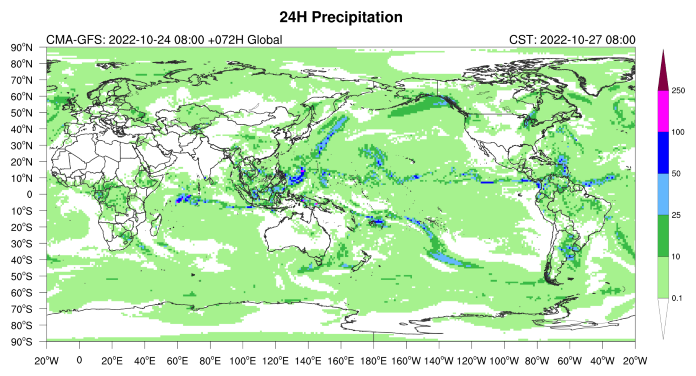
Figure 2. Precipitation forecast for the next two days

